Geographic mapping in the modern era.
1 minute read
For over 5,000 years, cartography and mapmaking have been essential tools in human history. From ancient maps to today’s advanced technologies, we have used geography to deepen our understanding of the world for exploration, strategy, and planning purposes.

As an agency, many of our mapping projects demand a high level of sophistication and technical accuracy. To achieve this, we use Geographic Information System (GIS) technology. This enables us to process and interpret vast amounts of data and transform it into insightful visualisations for many of our clients.
Across our industry, we have witnessed a shift in how people need and want faster, smarter solutions for location-based data. GIS has revolutionised our ability to layer complicated data sets onto neutral base maps, allowing our clients to analyse and organise projects with ease. We recently developed a customised digital map for Anglian Water, which helped users understand the project’s impact within the community.
We are now looking forward to the future of mapping and evolving our understanding to push how we can communicate complex projects better. In a world where we rely so heavily on mapping data, GIS is now more important than ever. It is essential to understand how we can better interact with the spaces around us.

Our Services.
- Digital
- Digital Design
Blog.
All blogs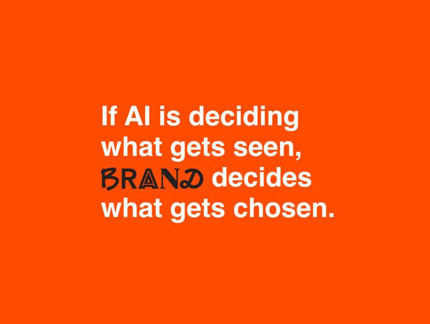
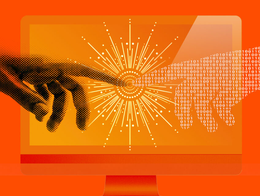
If AI is deciding what gets seen, brand decides what gets chosen.
The rules of online visibility are being rewritten - fast. But what does this mean for your business, and what can you do about it?